MOUNT WHITNEY TRIP REPORT
MAY 29th, 2026
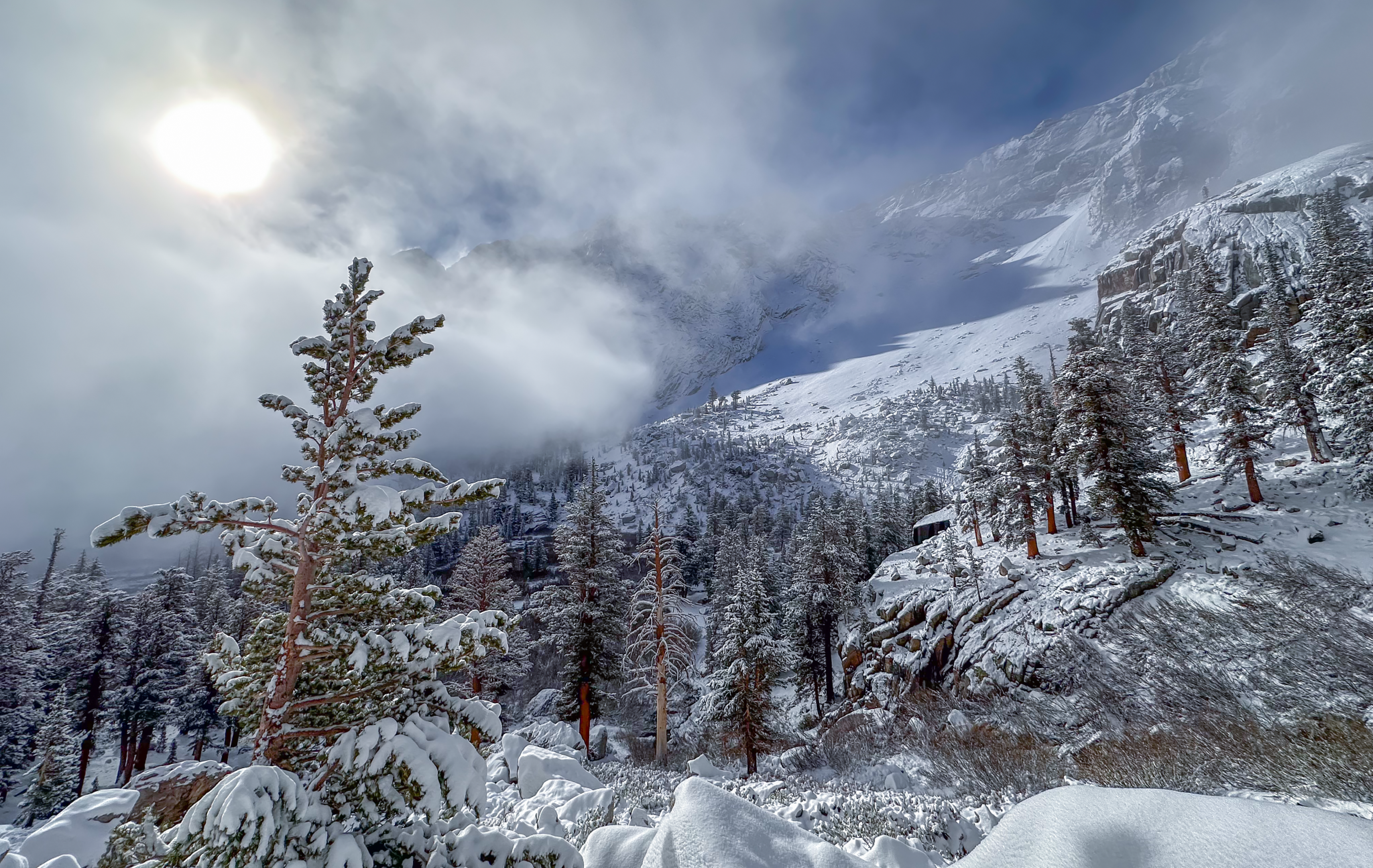
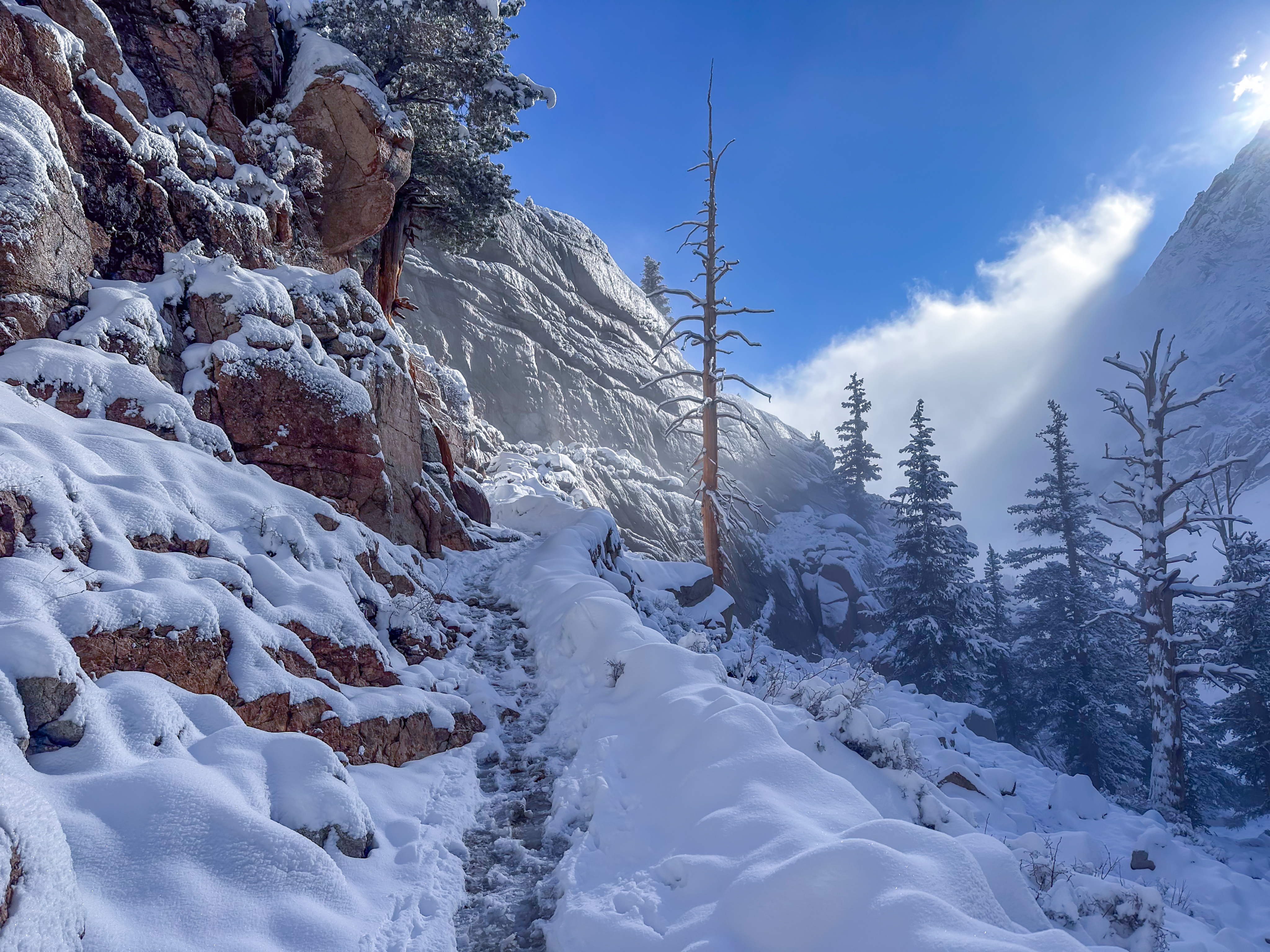
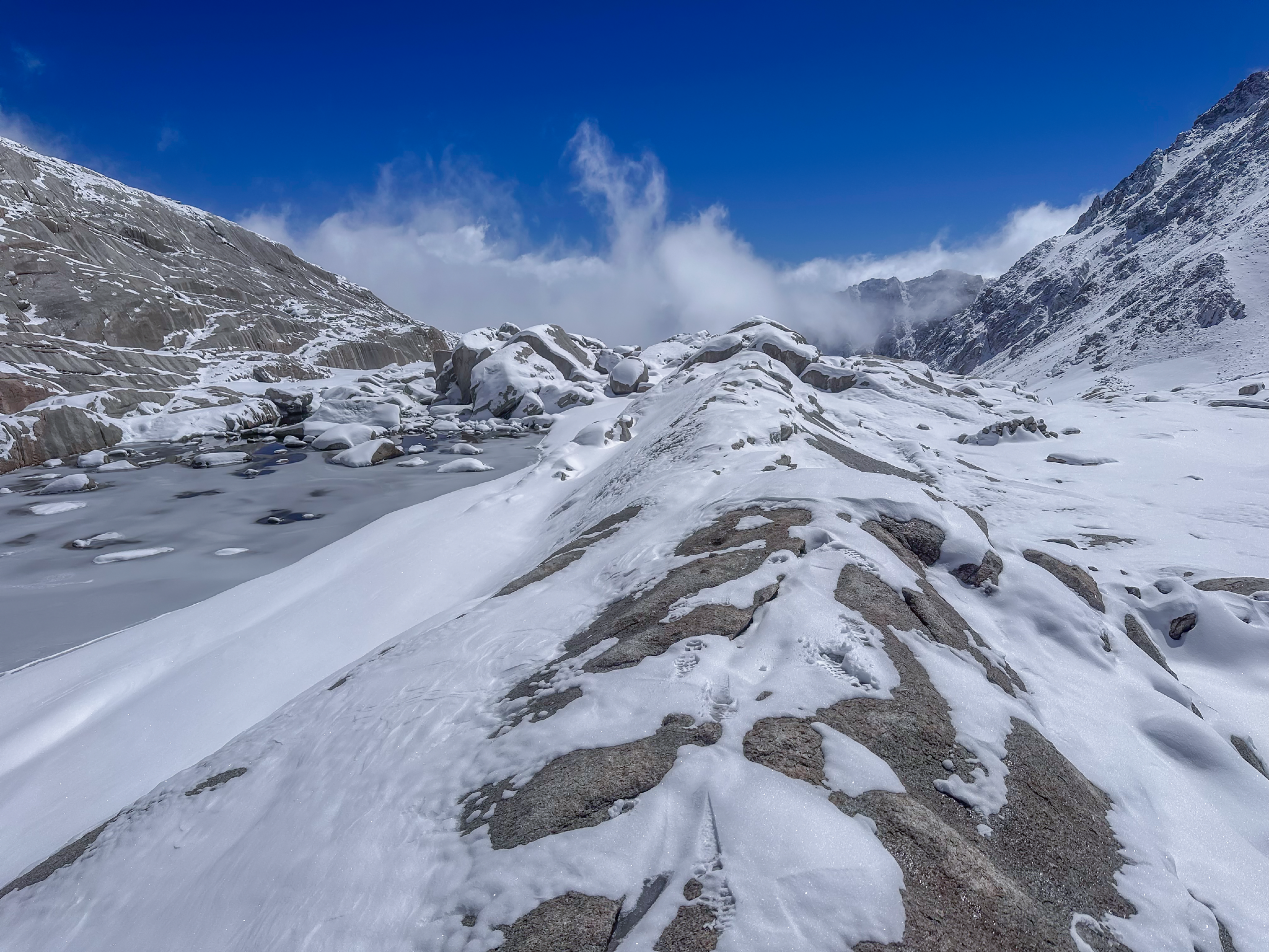
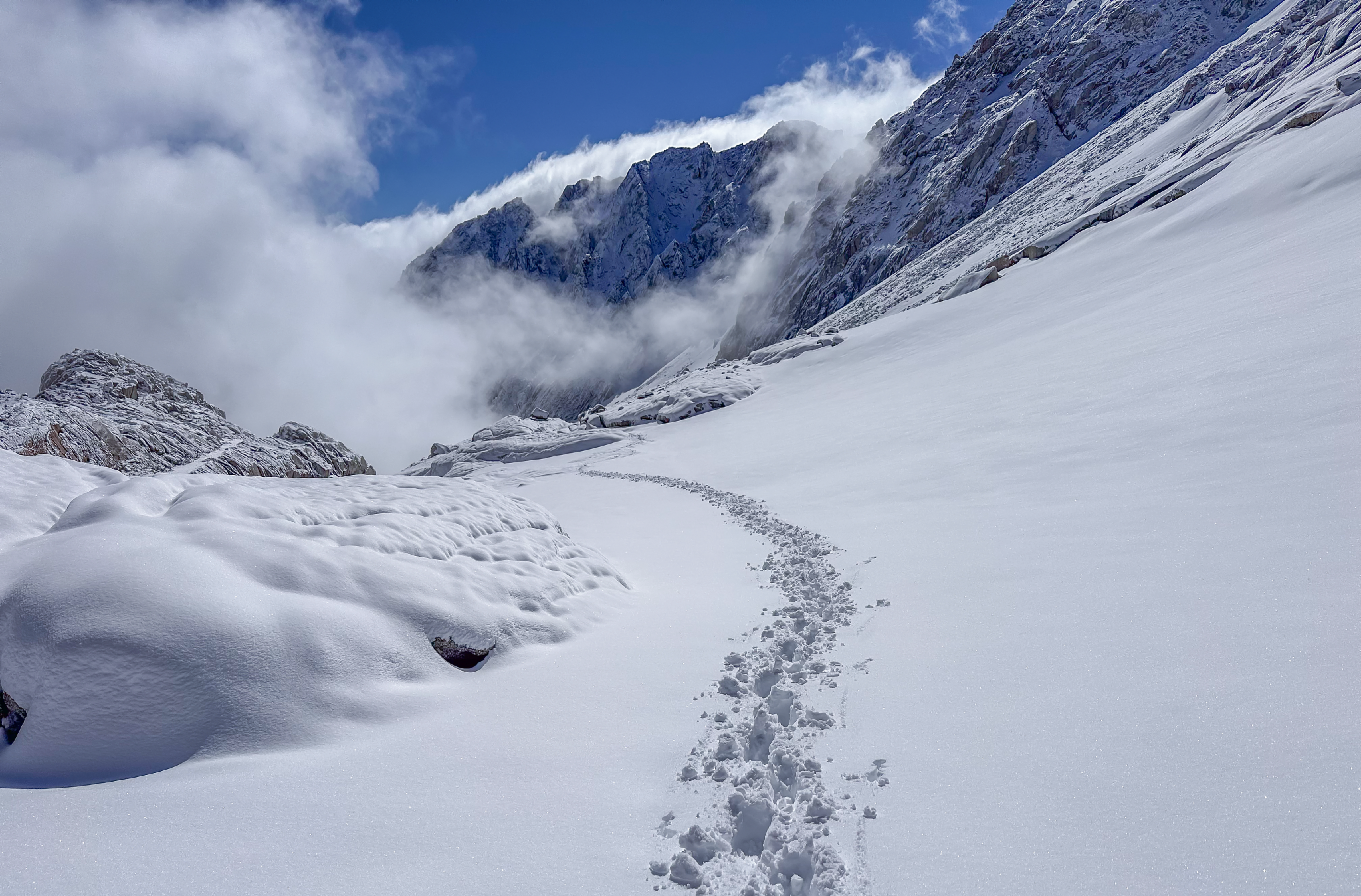
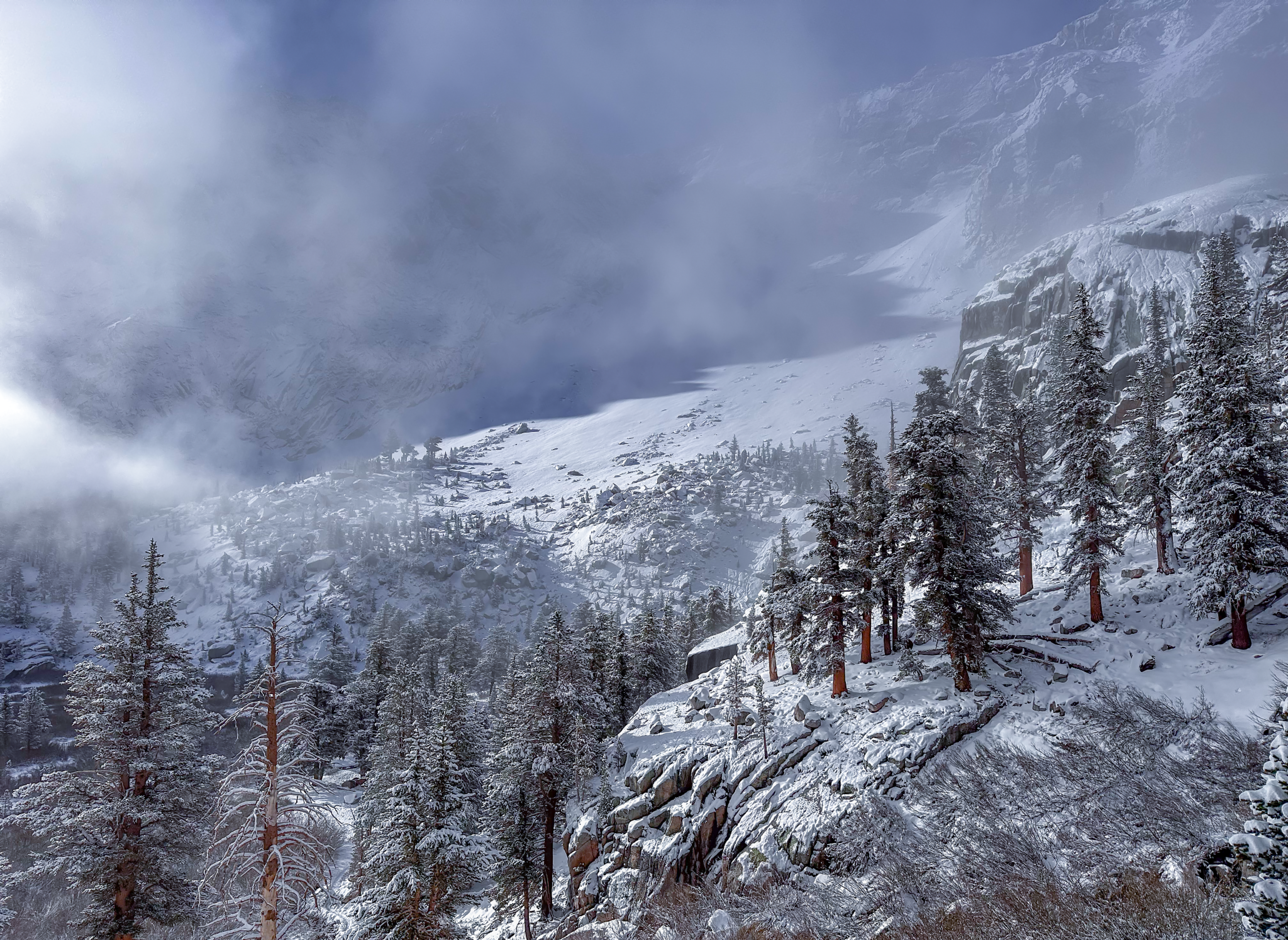
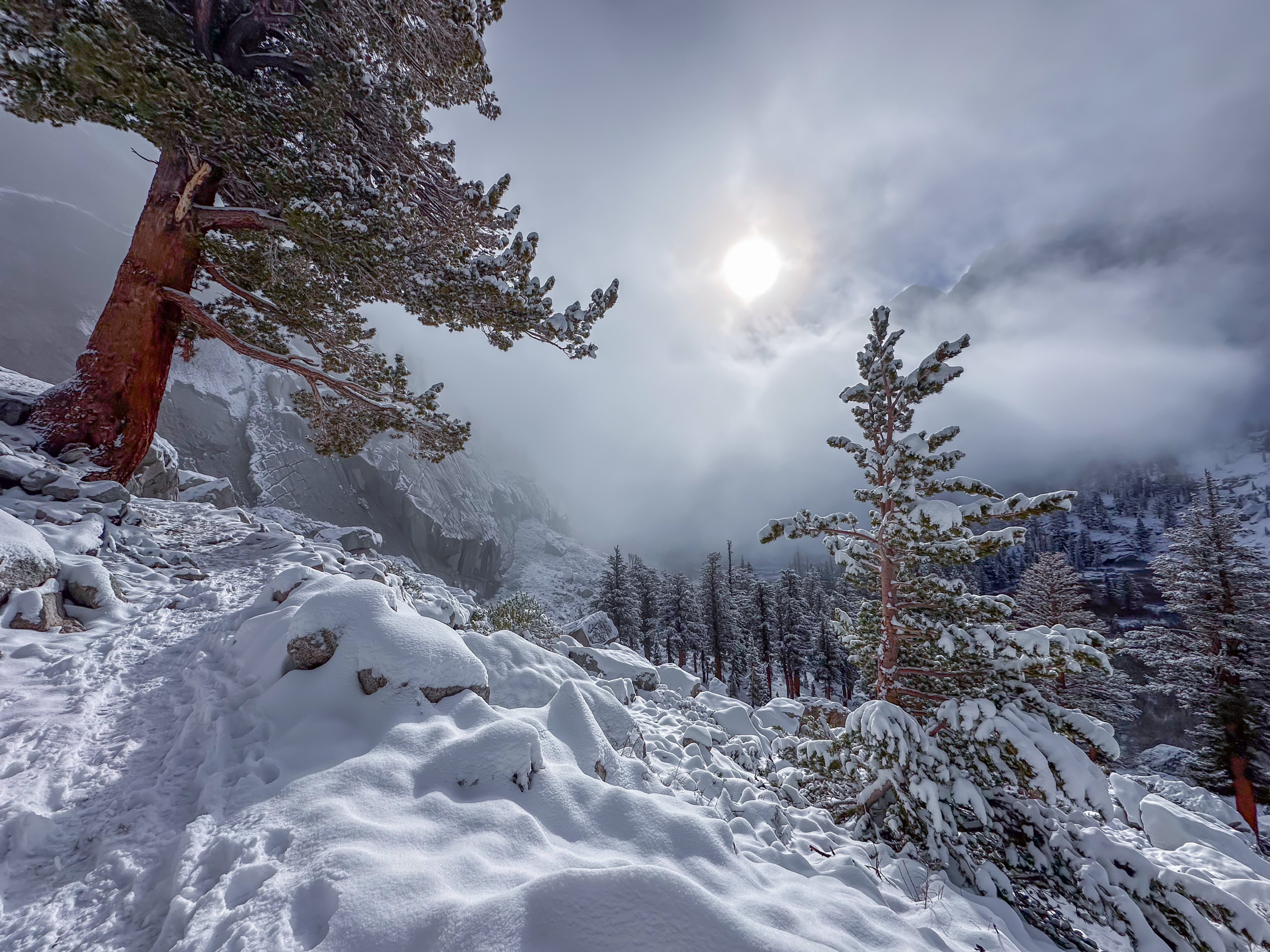
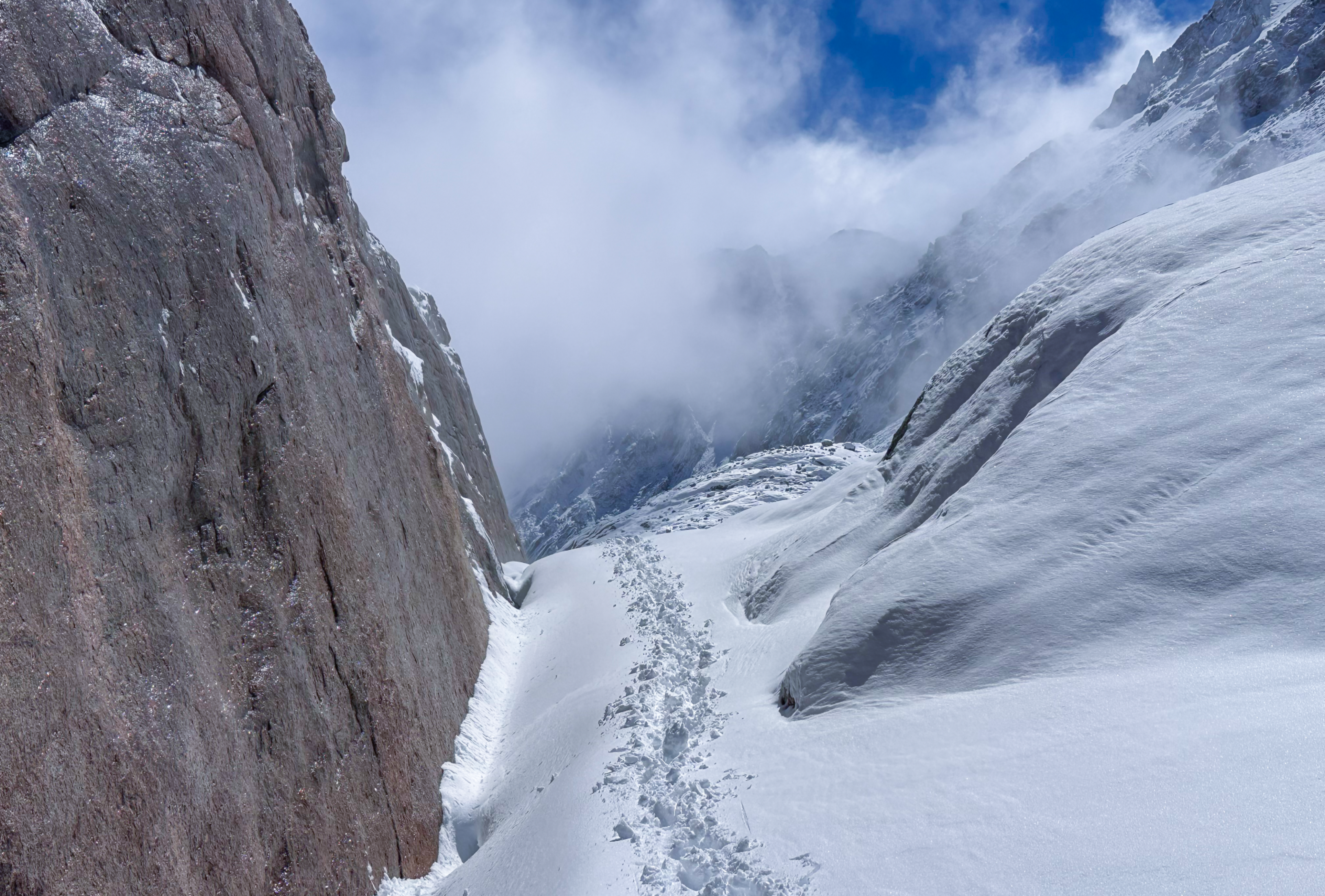
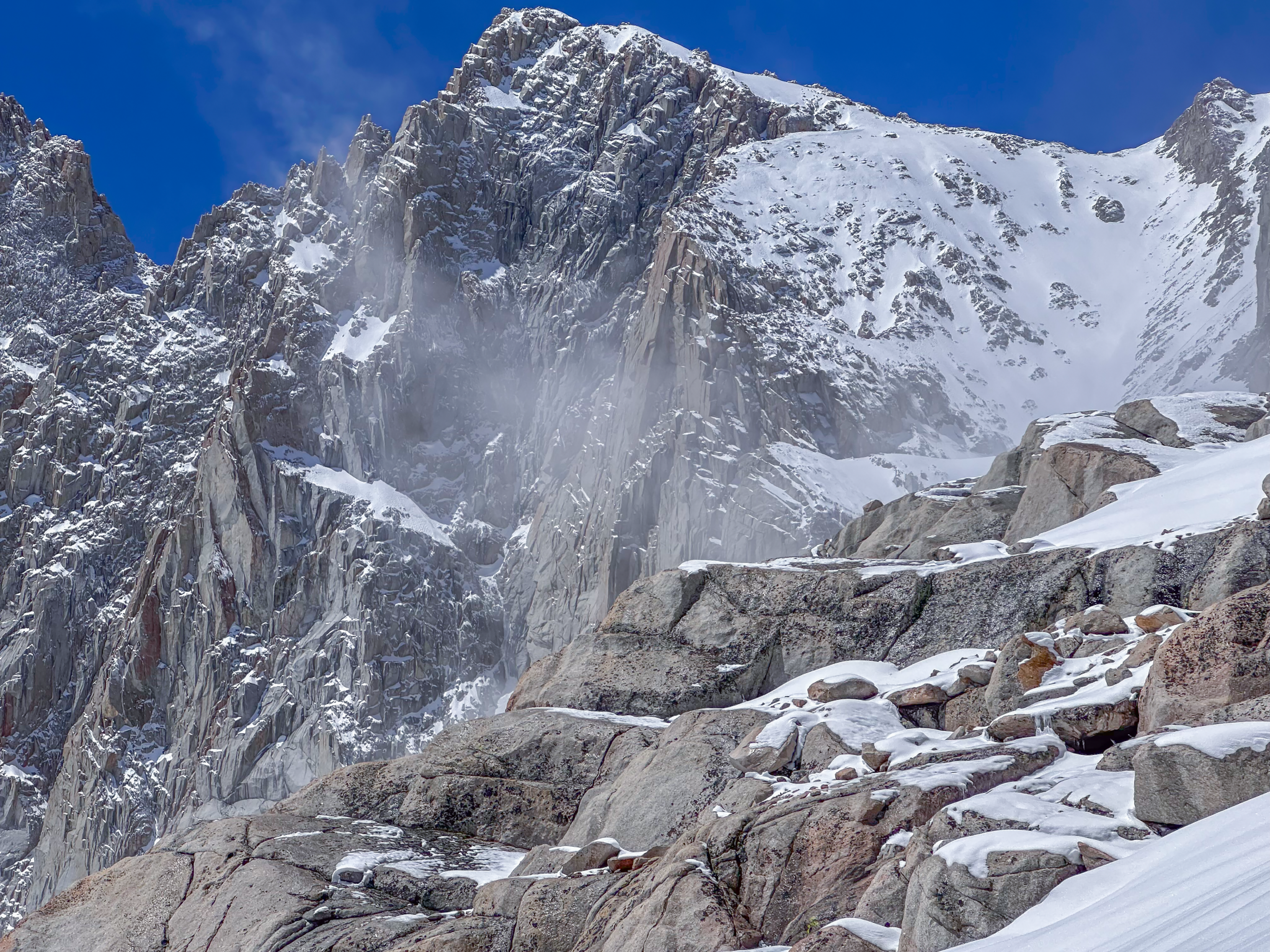
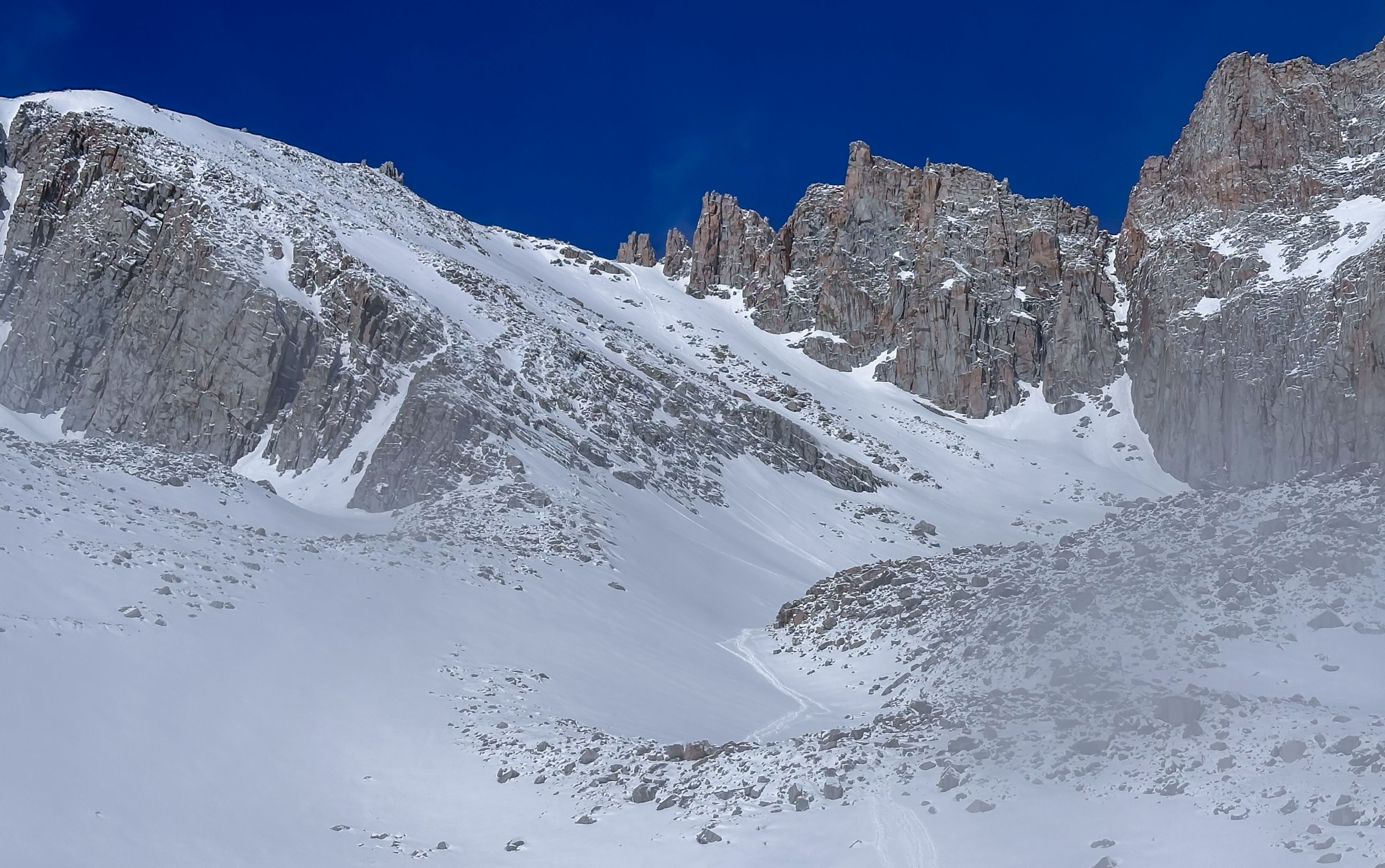
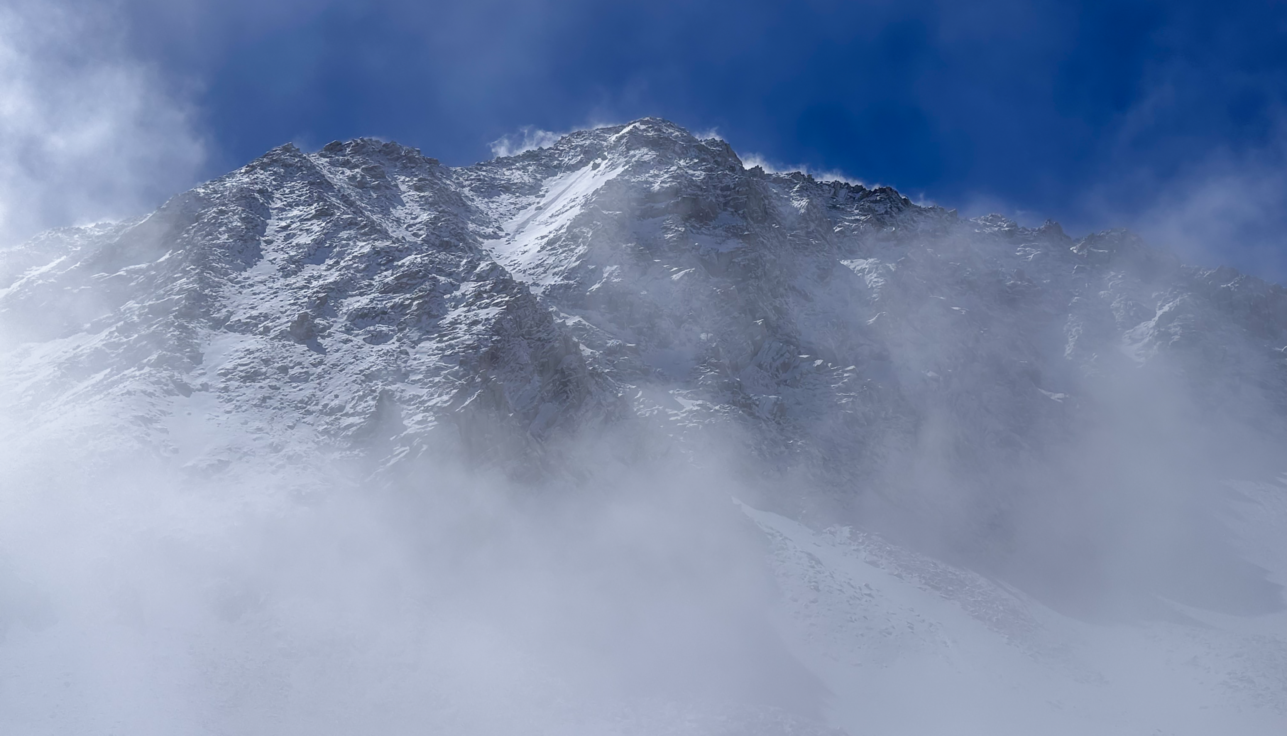
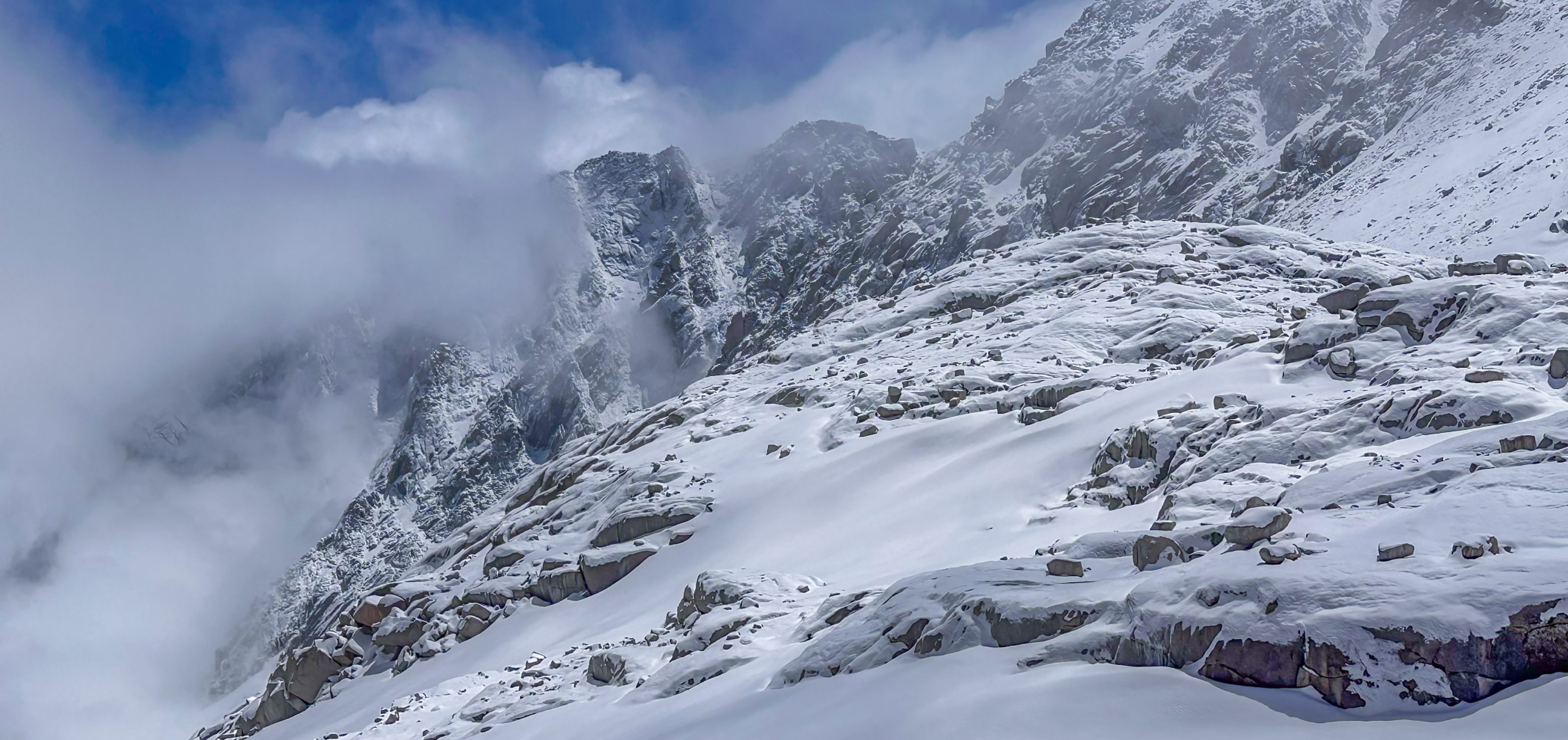
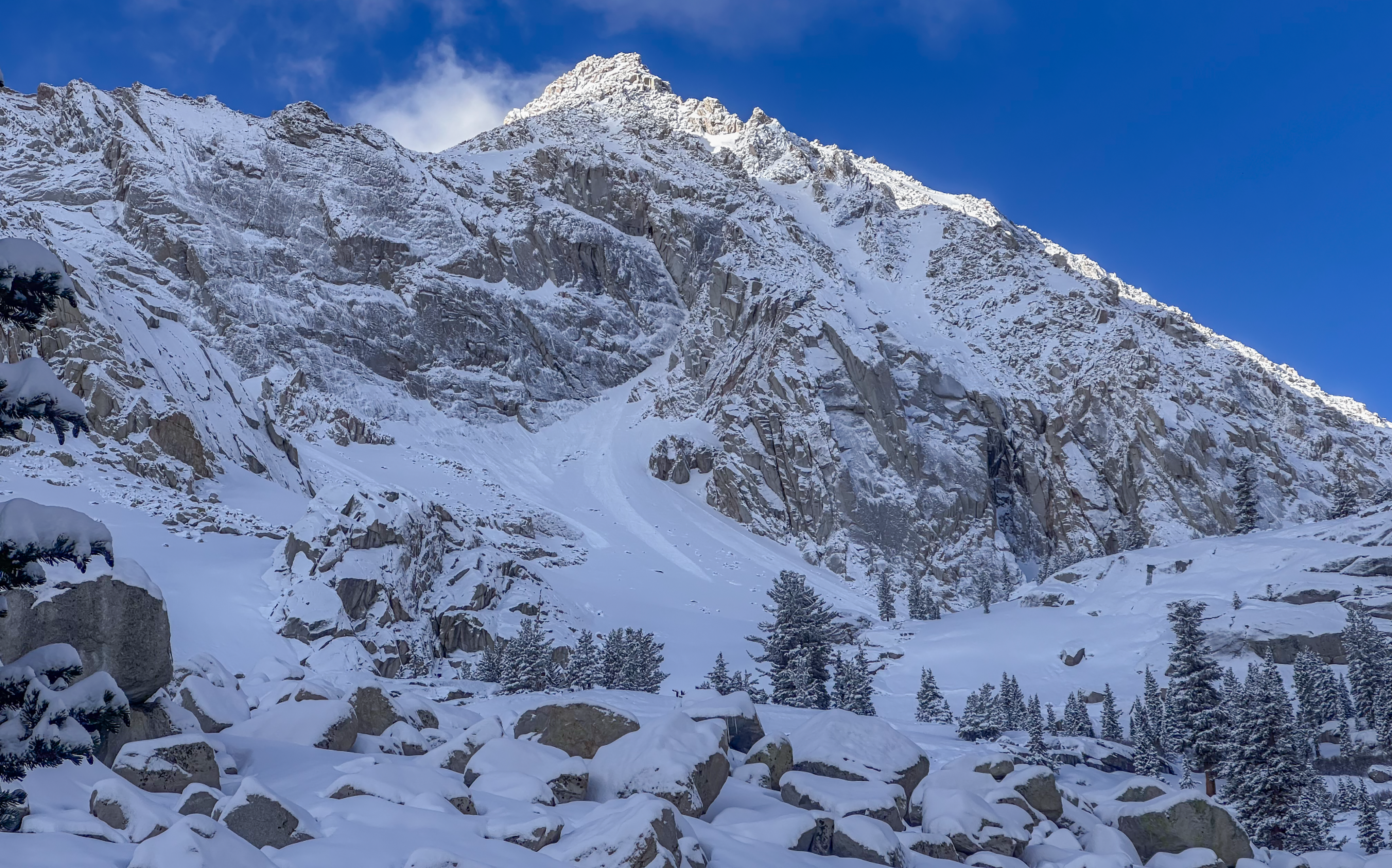
Partially up the Main Trail in the snow after an expected storm cycle blew through the region over the proceeding 24 hours...
______________________________________________________________________________________
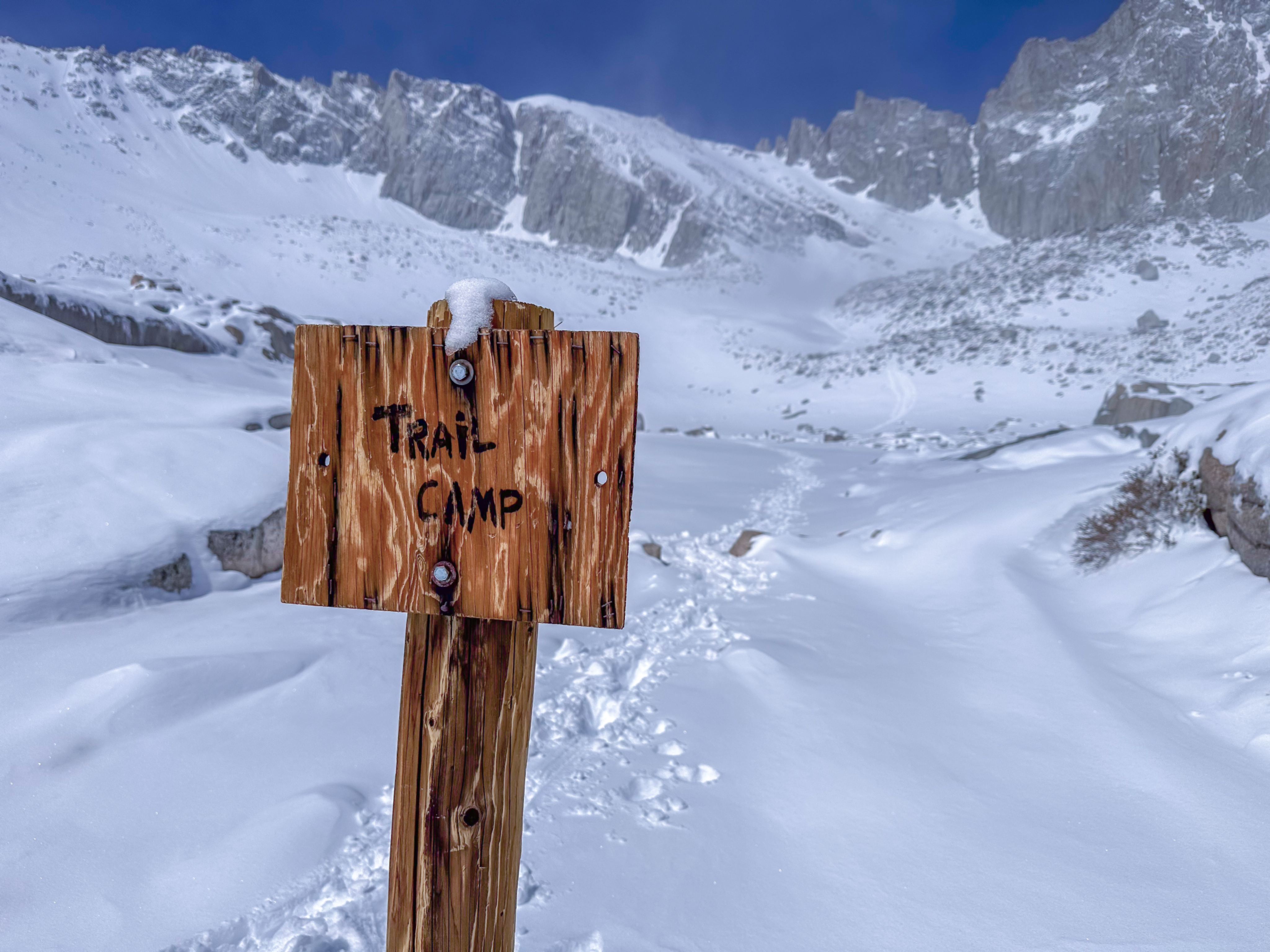
My original plan was a repeat of what I did two weeks ago; up the Mountaineers Route and down the Main Trail. The weather event we’ve all been watching changed those plans, but I wanted to go up anyway and see what Trail Camp was looking like.
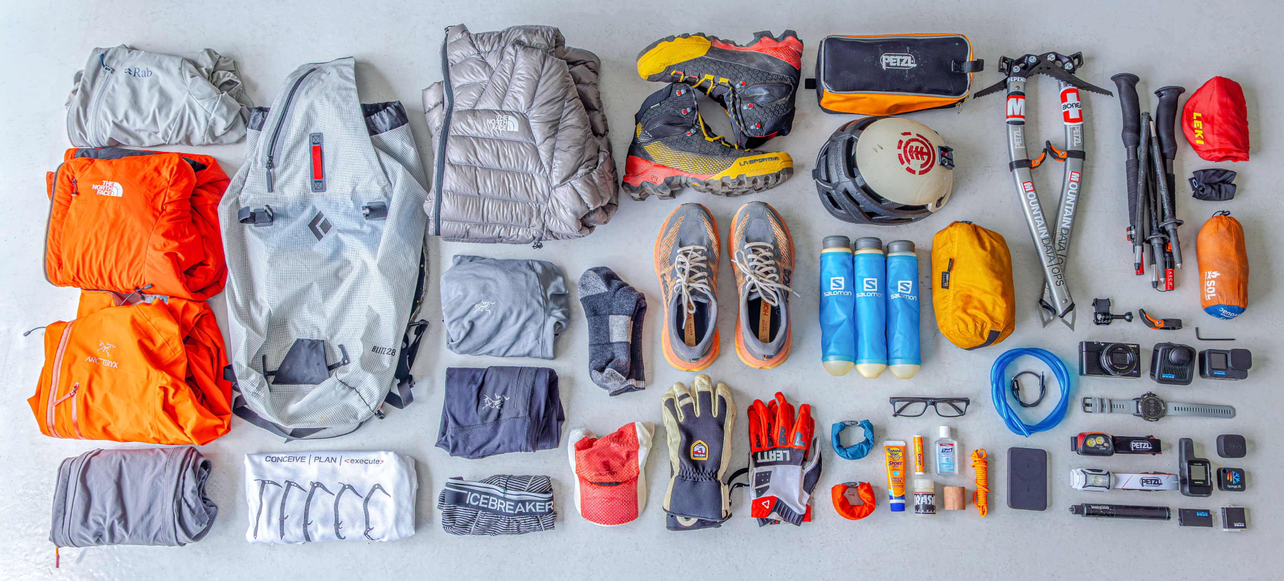
I slept in, left at 05:00 with a 14lbs pack, cruised up to 12k, then ran back down to the TH. Other than my Sony RX-100 MK6 camera giving up the ghost (finally), it was a great day. But that means all these photos are just from my iPhone. Bummer. The best camera is the one you have…
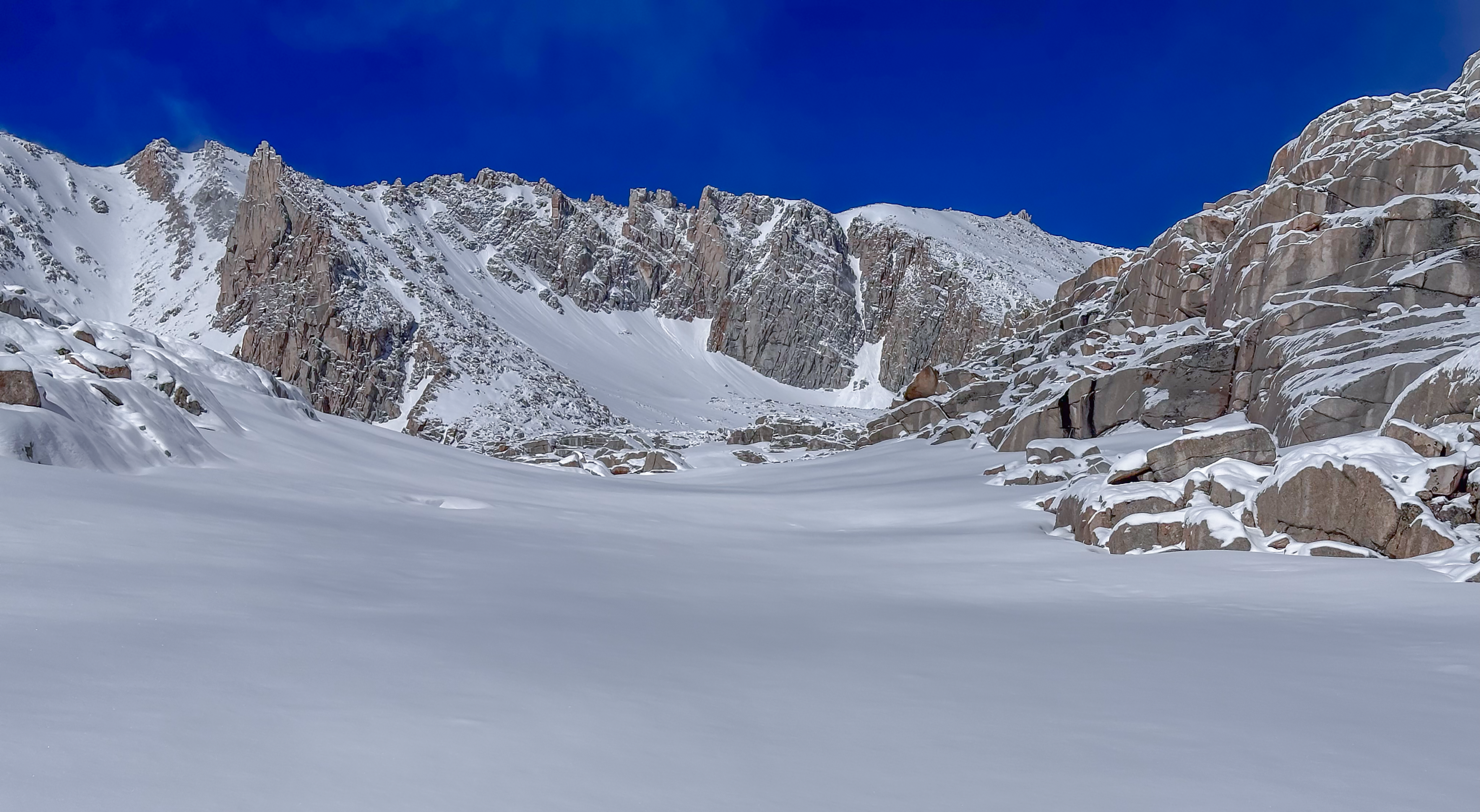
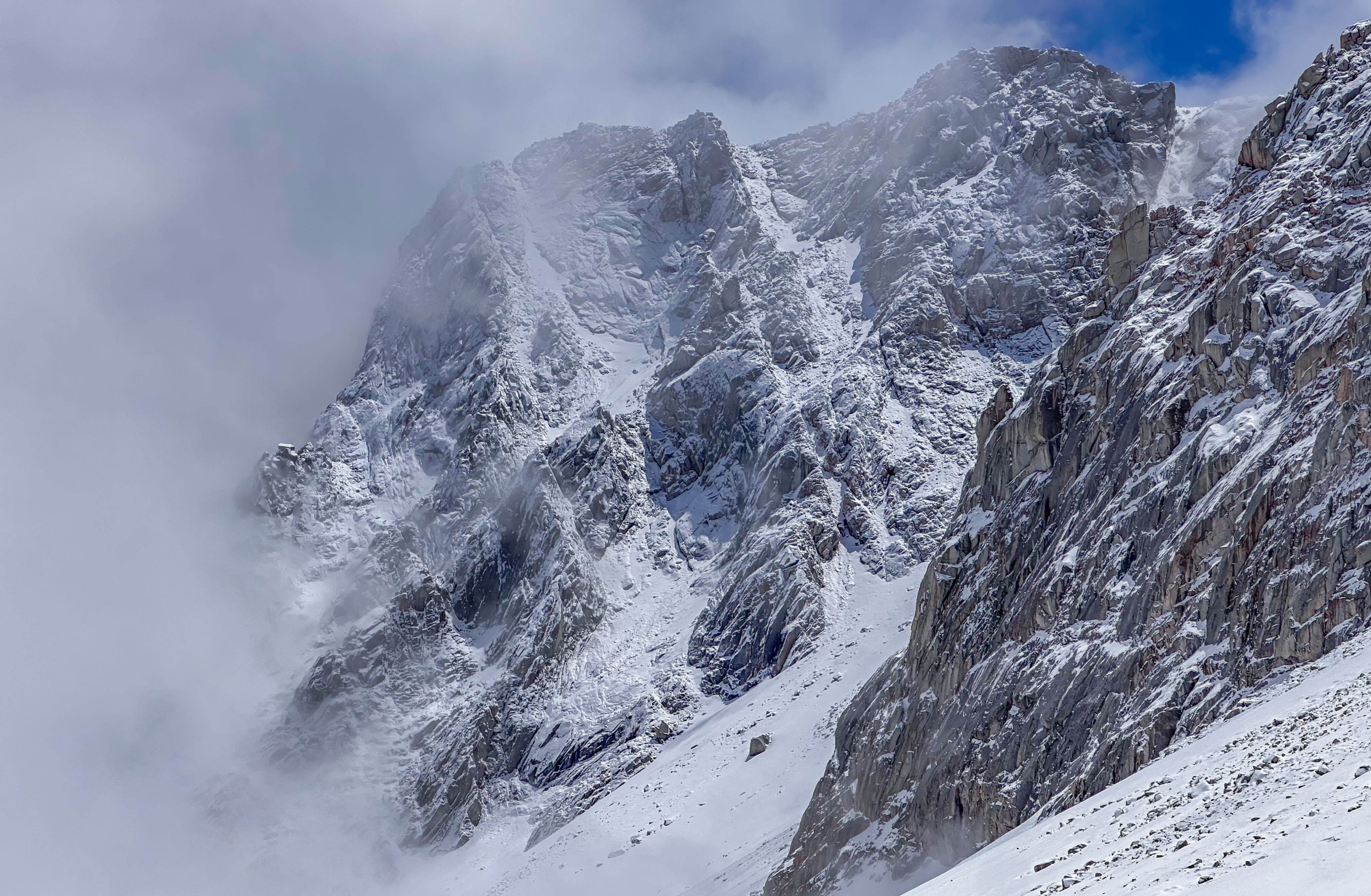
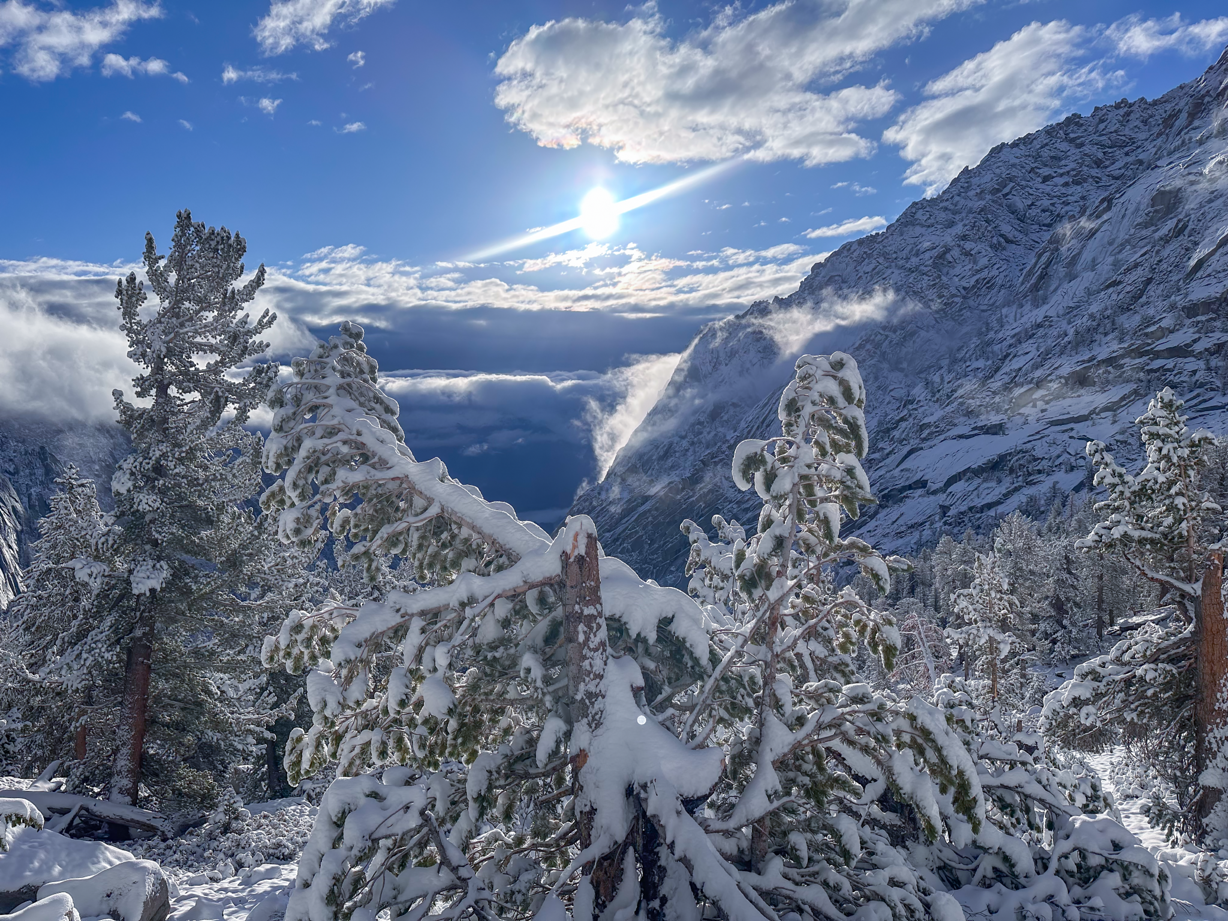
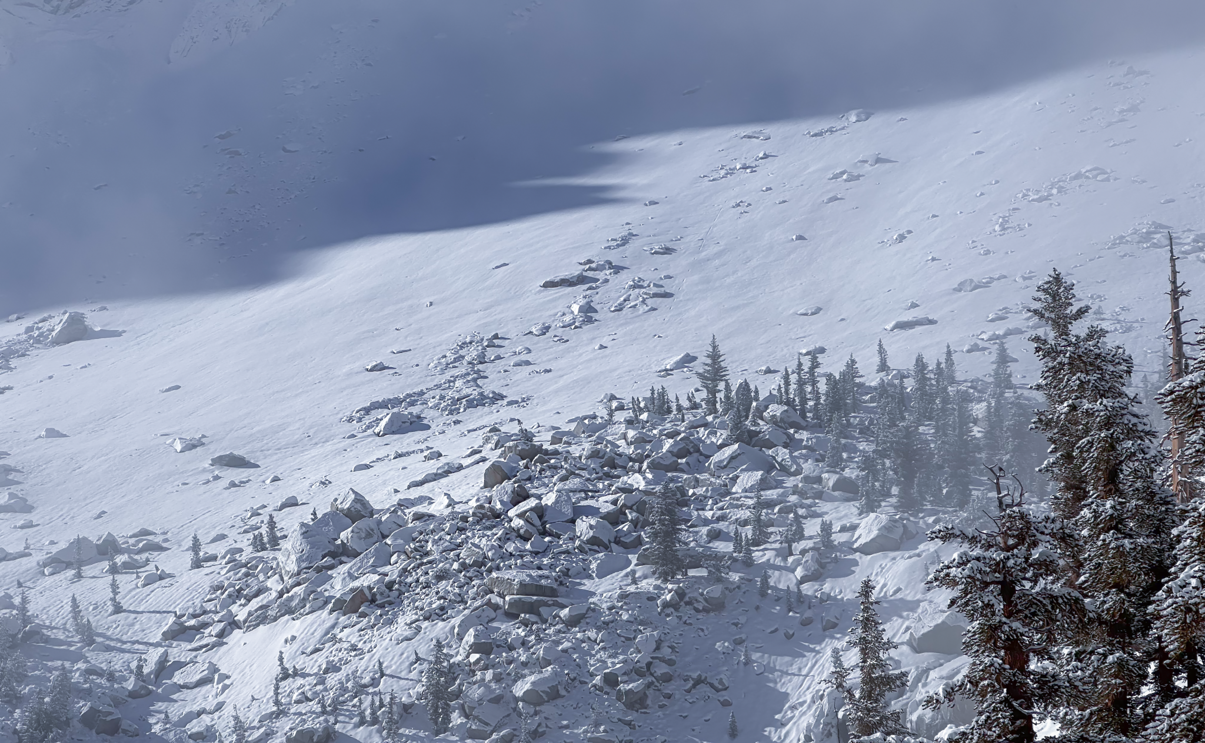
It snowed. About a foot fell at 12,000 feet. Less lower, of course. What does this mean for the Main Trail? For starters, it means that a foot of snow fell on a 35º snow-slope, so The Slope to Climber’s right needs some time to settle. I counted five avalanche runouts today, all wet point-release.
Personally, I wouldn’t be on that slope (or any 35º+ slopes in the area) for at least 48 hours. Preferably double that. My humble suggestion is to tap the brakes till early next week. You’ll see reports of people up there sooner, but, like is oftentimes the case, those people will have inserted pointless consequence multipliers into their days. The few people I saw attempt it today turned around. Good calls…
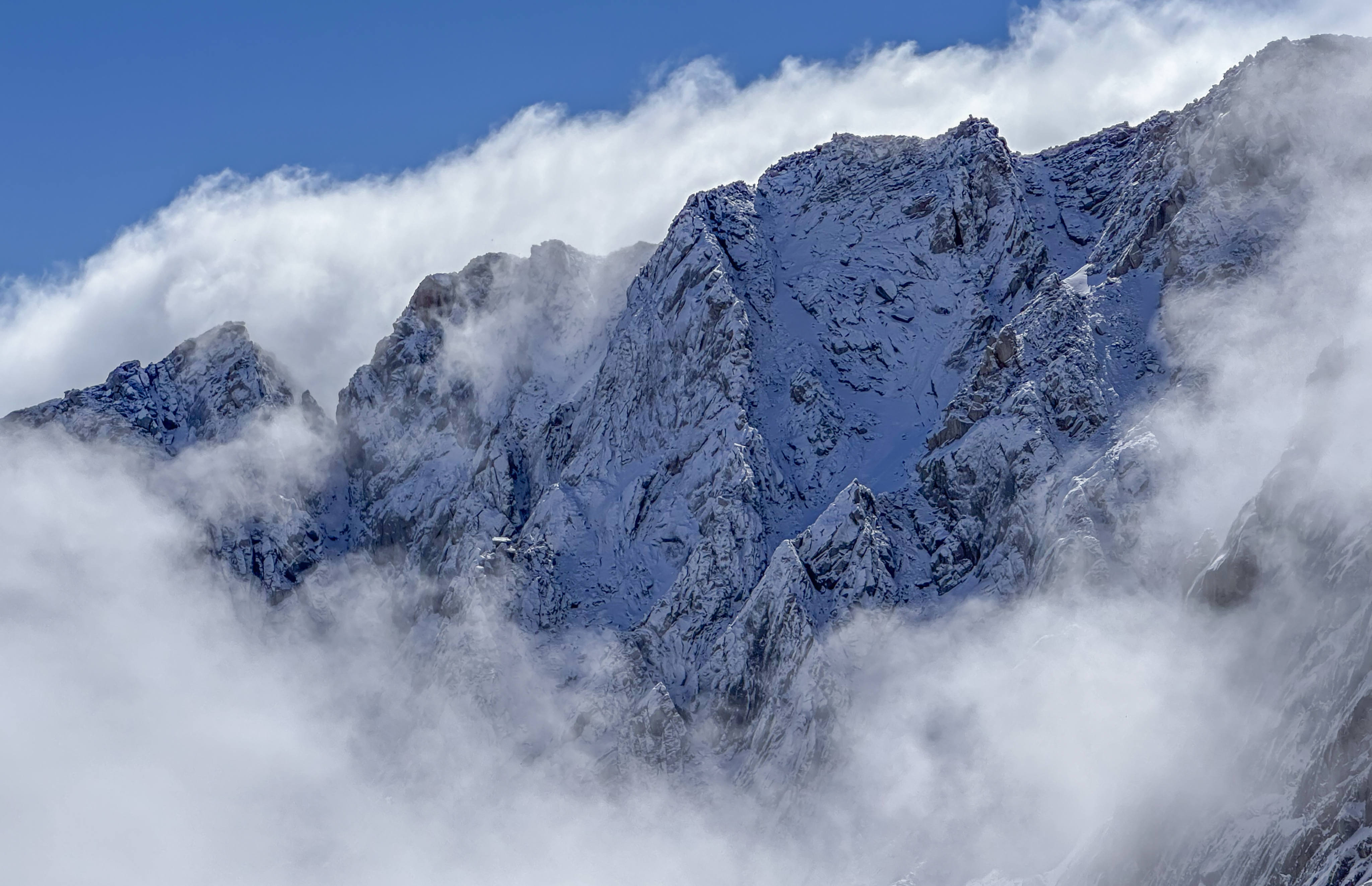
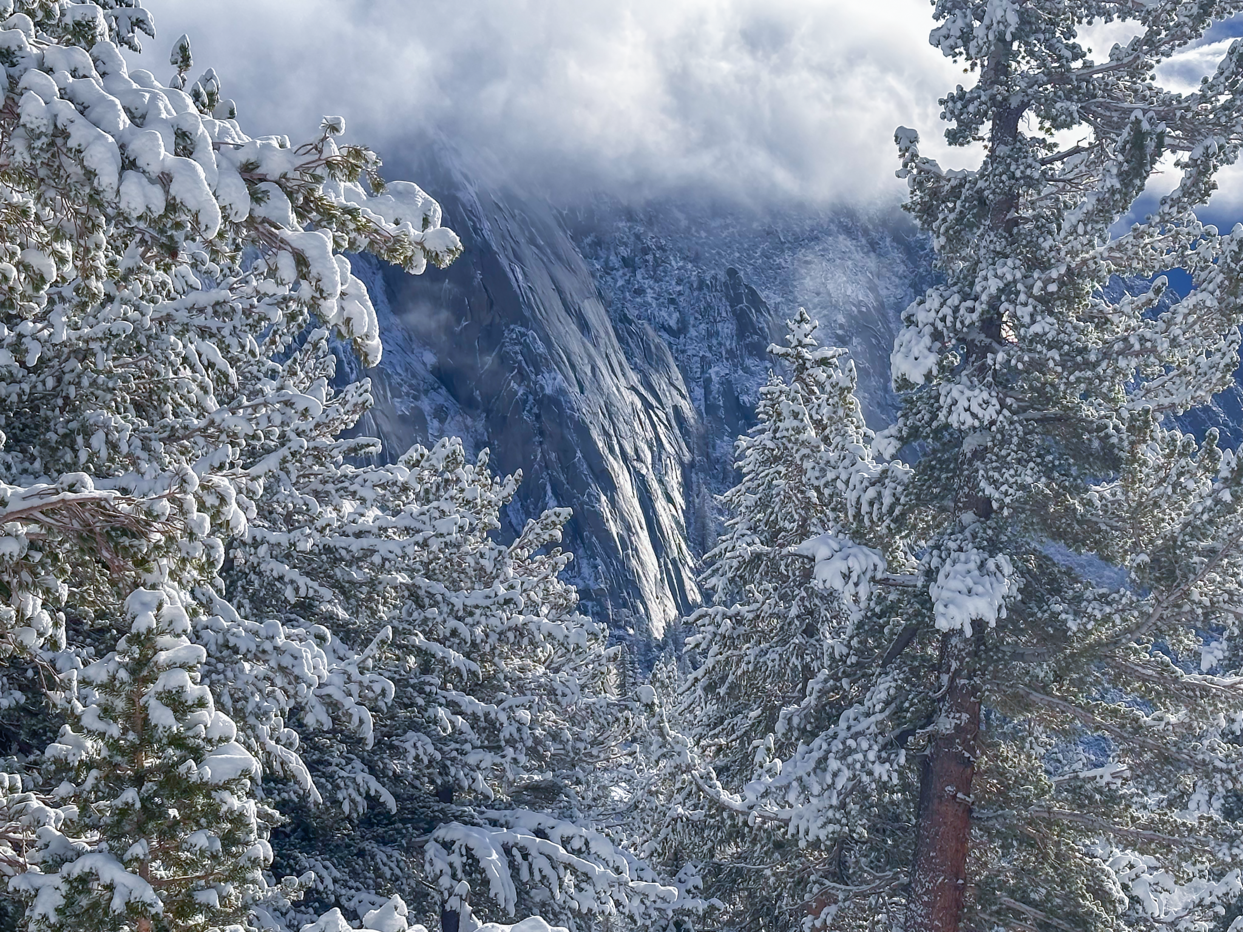
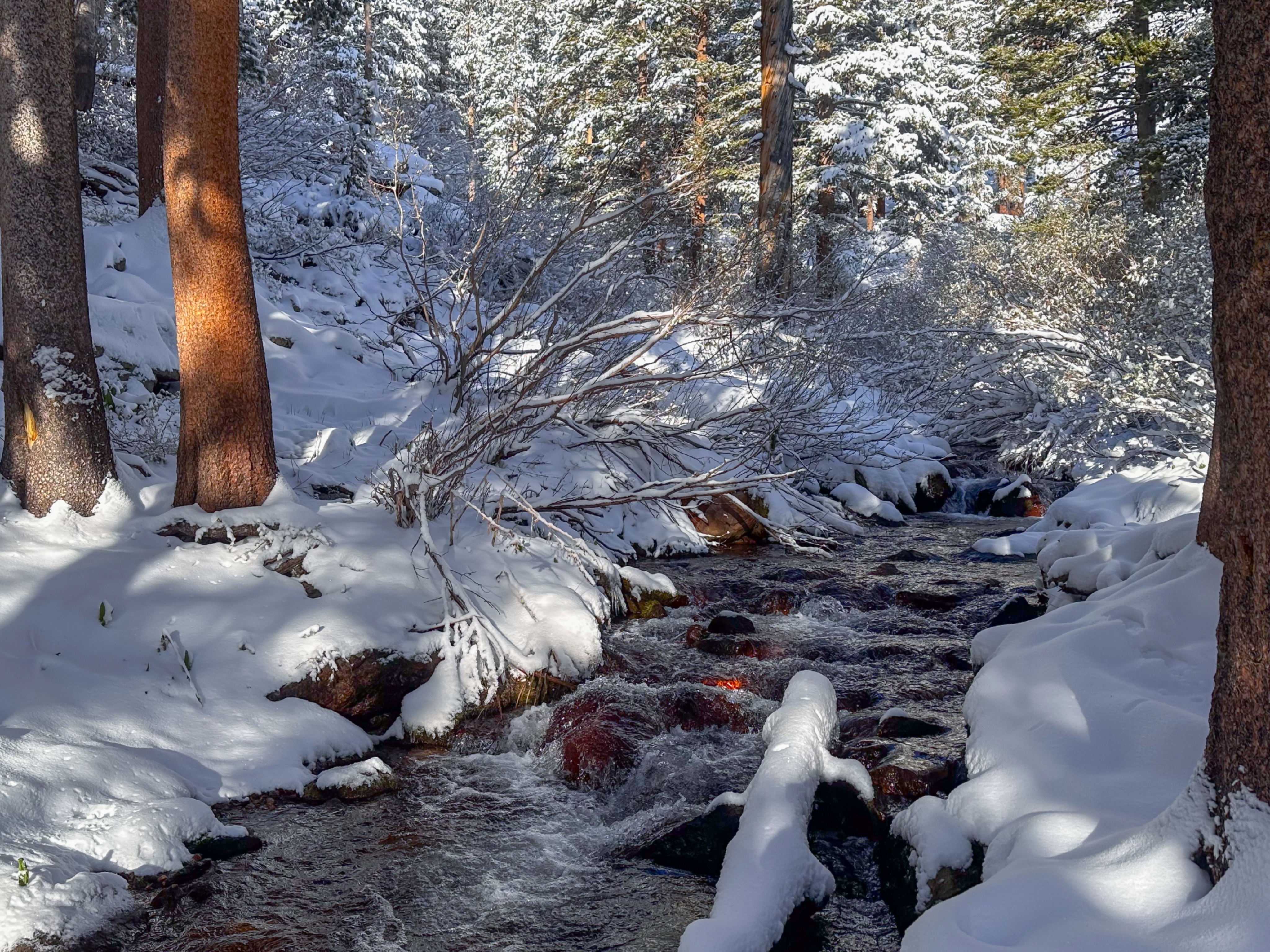
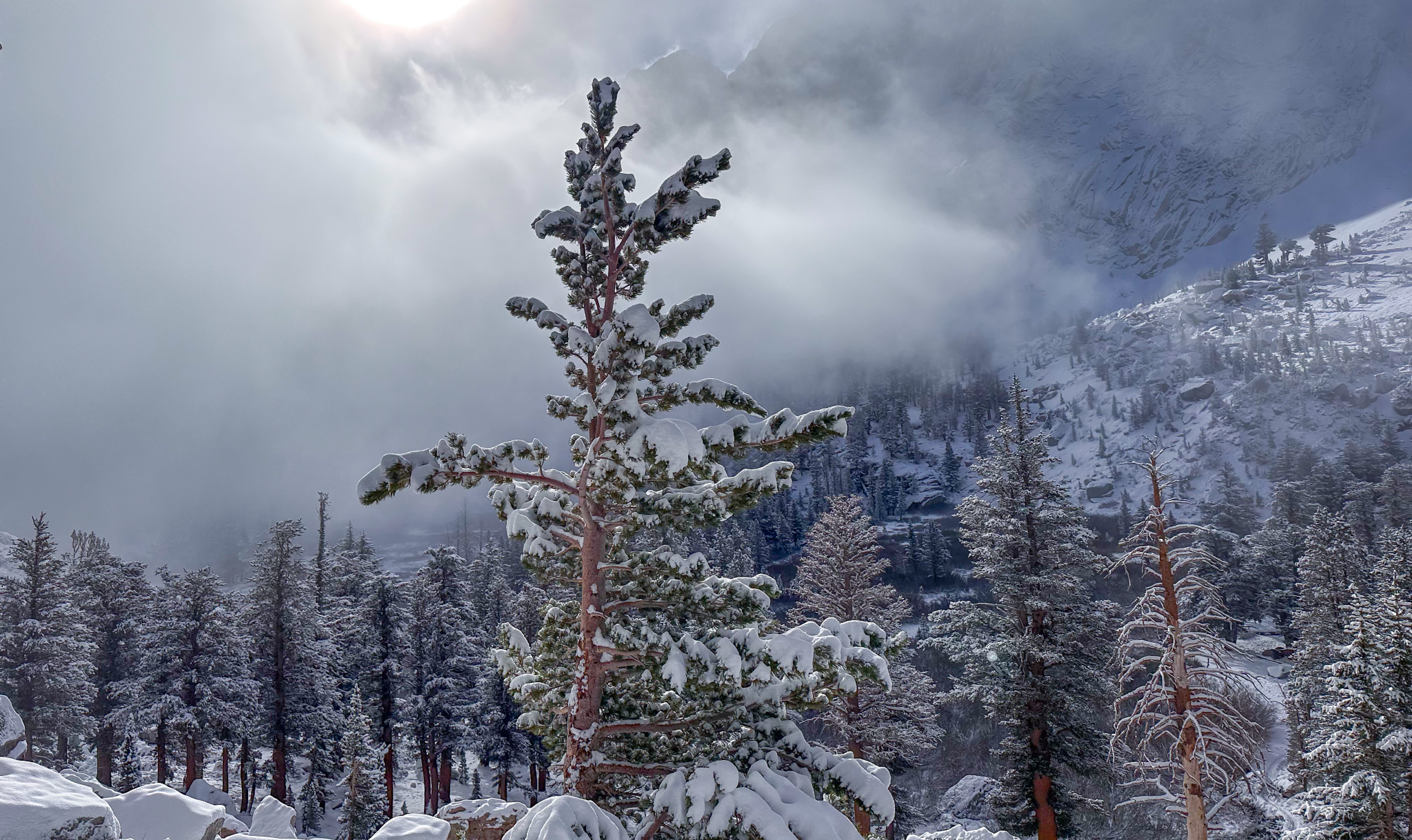
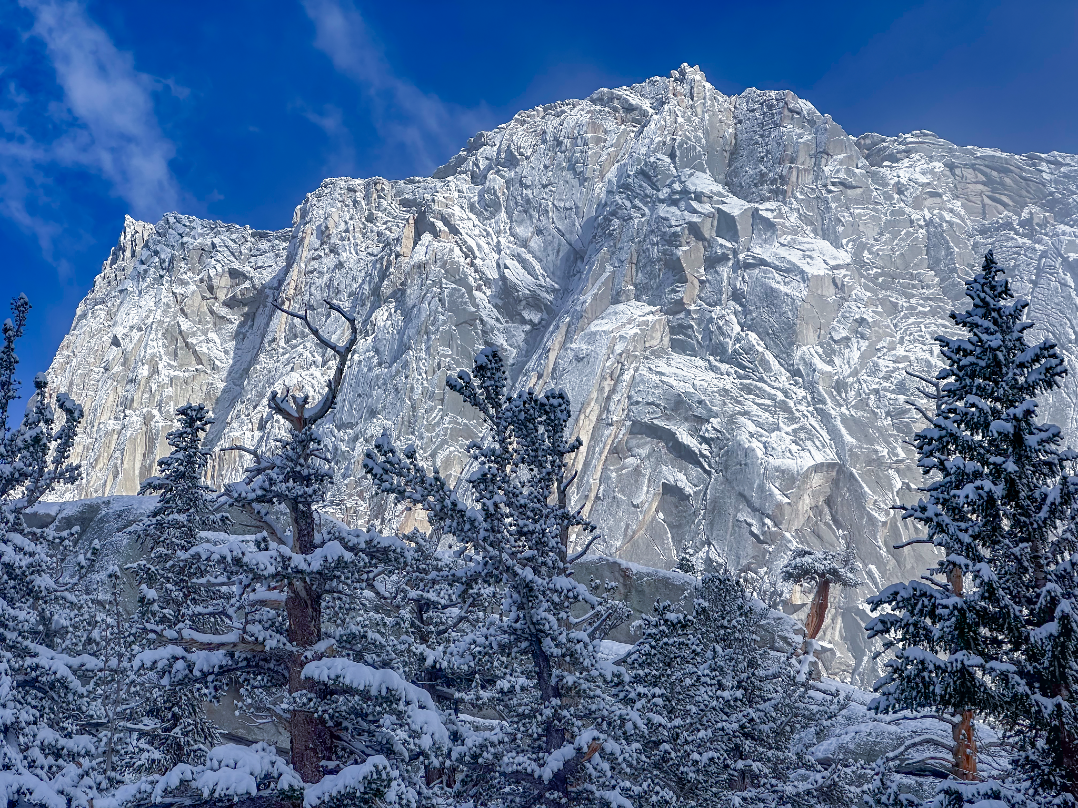
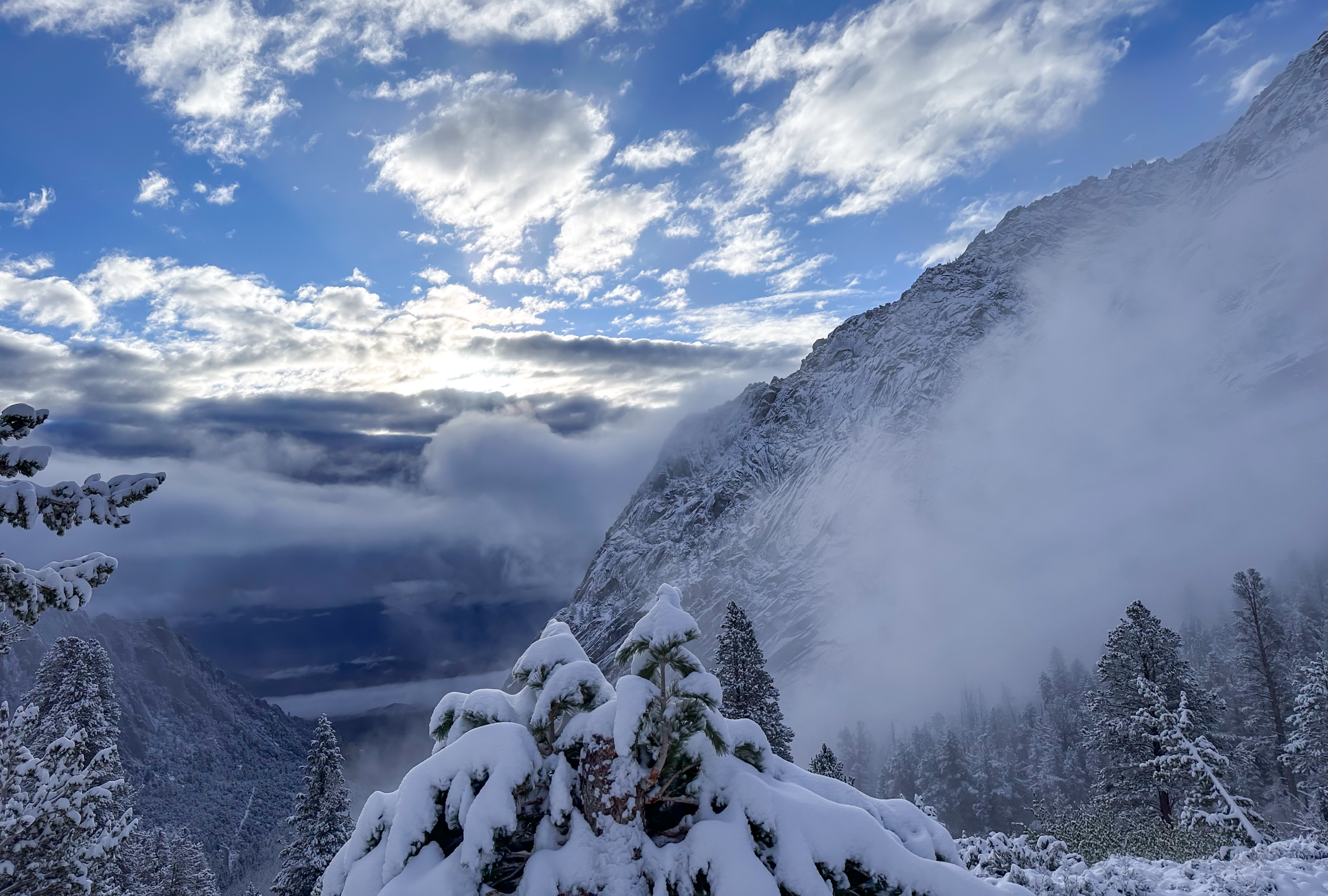
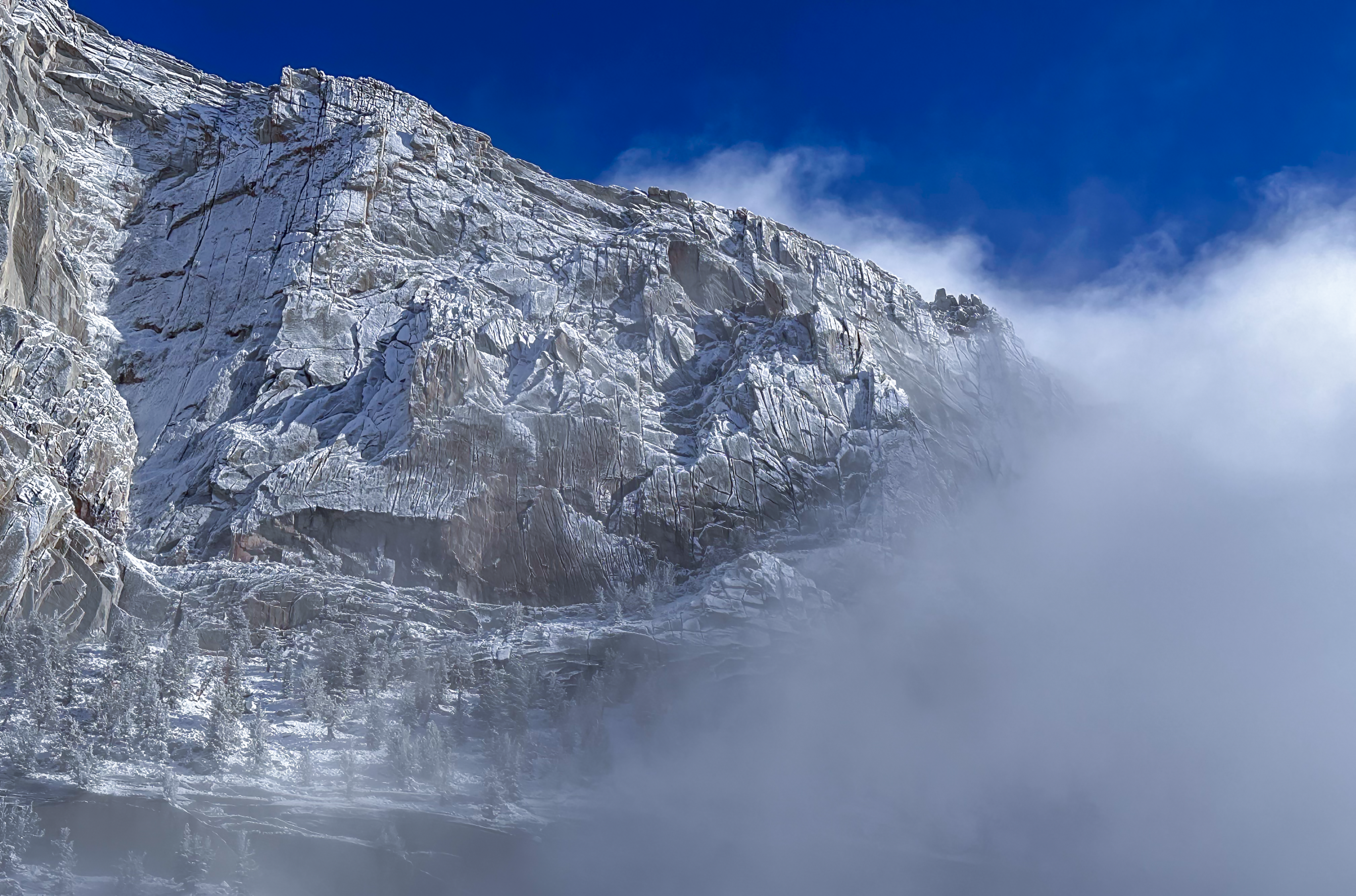
What fell will melt out fairly quickly. All that beautiful brand new snow on alpine granite that made all my photos look cool will be gone in a few days. The snow that fell on existing snow will settle and metamorphose.
The Switchbacks are now more snowed-in than they were two days ago, but they weren’t “about to be dry”, anyway. What fell in this minor storm cycle will extend the time the Switchbacks become the safer route by a week or so. Mid to late(ish) June or so.
The effects of late May storms usually subside rather quickly with rapidly-increasing diurnal temps into June. While the photos here look dramatic, it’s not a Winter reset; it’s very late Spring dousing, but it should still be approached with caution until the dangers it created subside.
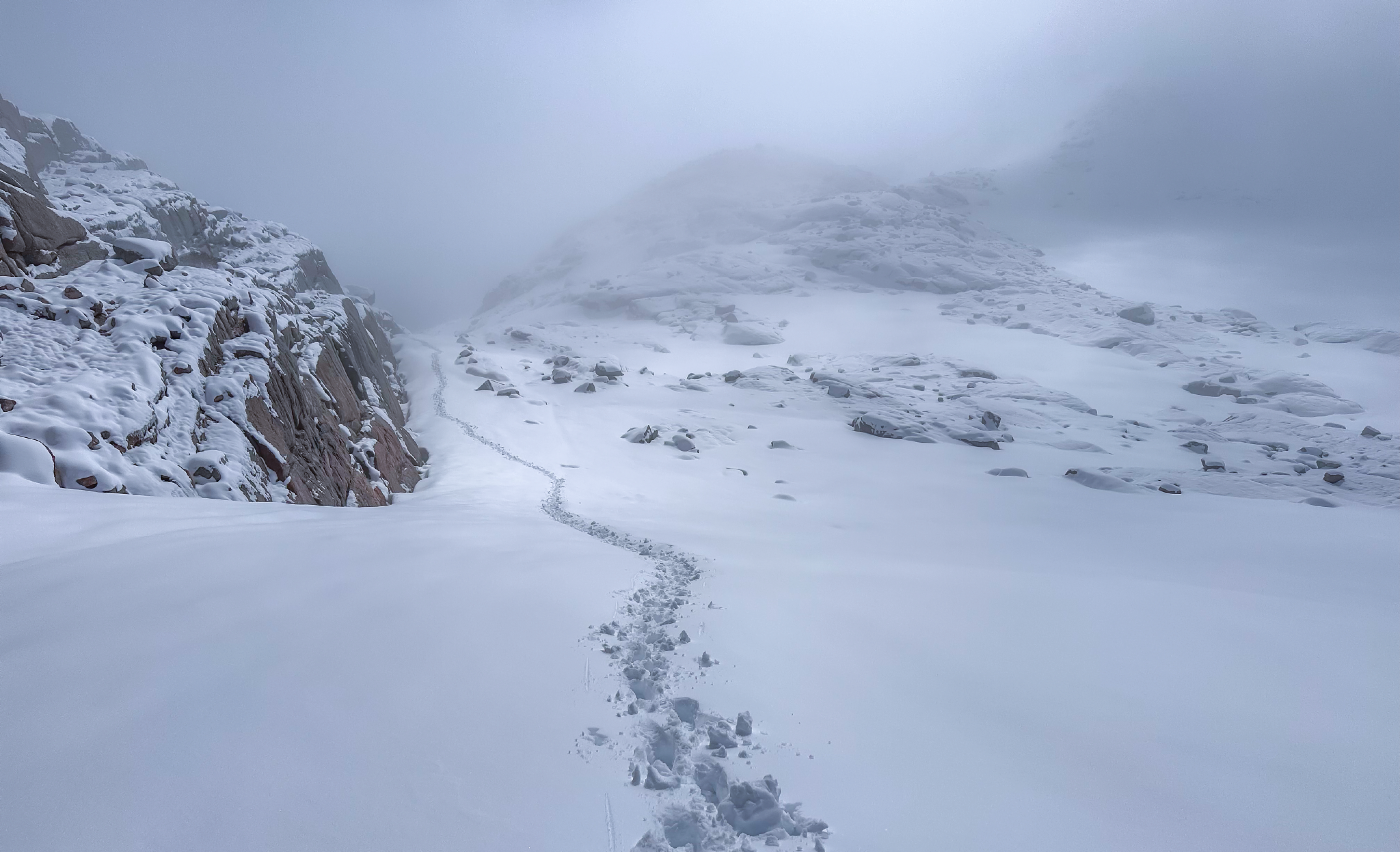
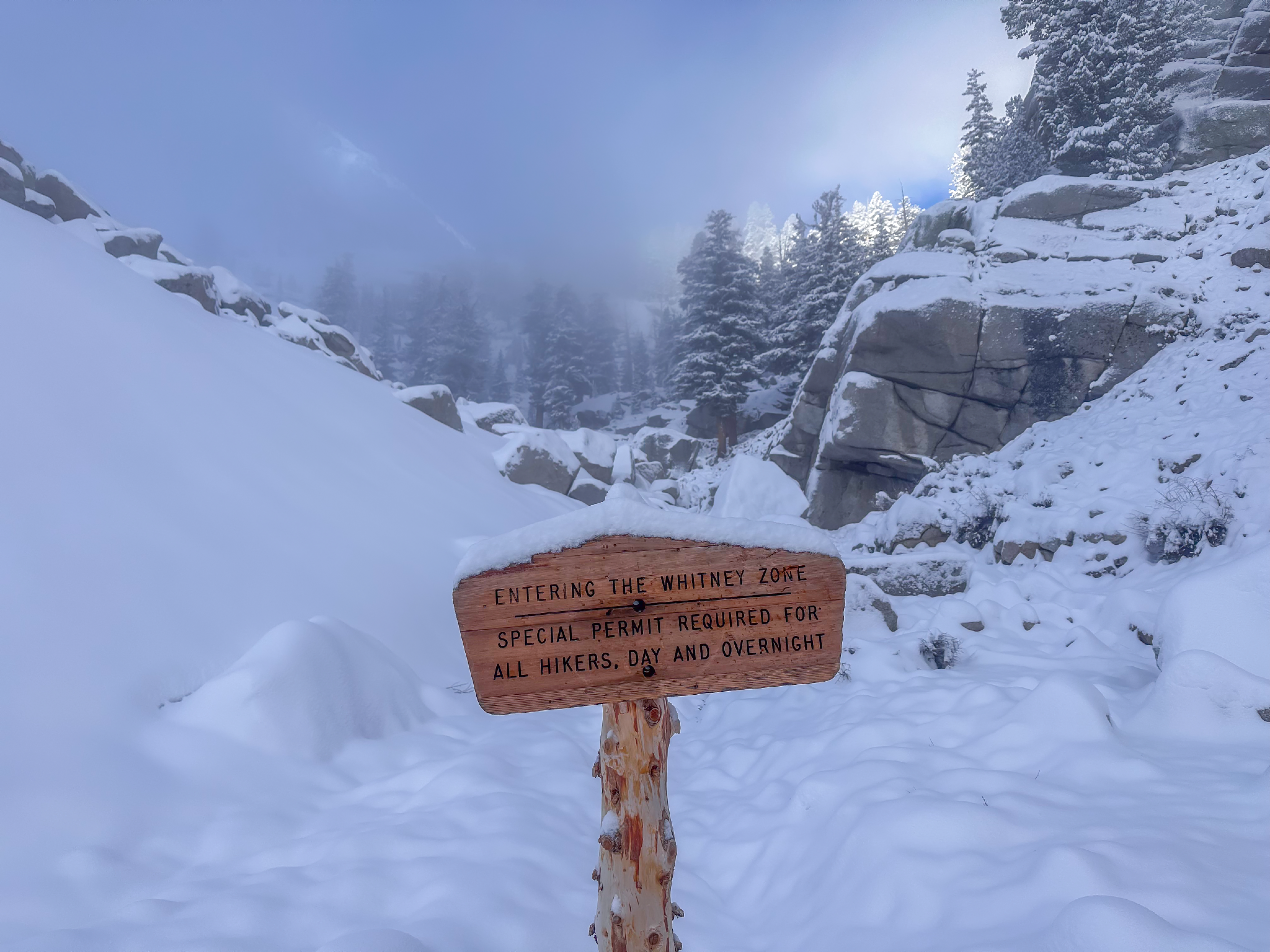
Speaking of avoidable dangers; the Winter route from the slabs above Mirror Lake was of course snowed over, so I broke the trail again from there into Trail Camp. I descended it as well, as did three other people, so it’s fairly packed-out. You can, of course, do what ever you want, but this Winter route avoids a dangerous section and is shorter, faster and easier. (See the video). This route will be the better choice for about 2-3 weeks, before the melt-out progresses enough and turns the trail itself into the safer route.
Beautiful day. Make good decisions up there…